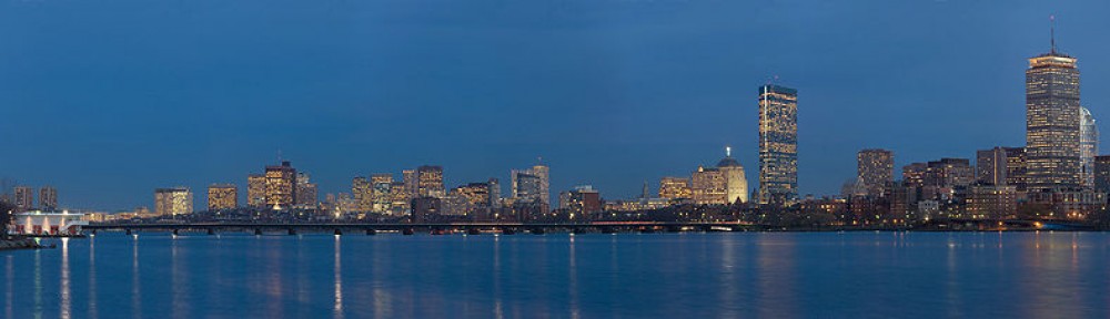
How much of a Bostonian are you? Are you a new campus tourist who’s only been to a handful of MBTA stops? Or are you a T power user on par with a Wahlberg?
This interactive map of the MBTA subway system will help you figure it out.
As you click on the MBTA stops you’ve visited on the map, the site spits out your level of Boston-ness with different titles. “Yankees fan” is for those who haven’t visited any stops, while “Interlopah” for those who’ve been to a few dozen. Anyone who’s visited all 146 stops gets the title of “Charlie.”
The map was coded and posted online by Mike Solomon, a Boston University graduate who now works in digital publishing for Condé Nast in New York. He recently found himself staring at the New York MTA subway map thinking of all the places he’s visited.
“The more you look at a map, the more you remember all the different places you were when you got off at different stops and things that happened,” he said. “So I thought, let me build a fun little interactive, clicky map for New York.”
About 76,000 people took the resulting map-based quiz, and it had 12,000 Facebook shares. Buoyed by that success, he turned his attention to Boston, another city he associated with fond public transit memories.
Given his recent absence from Boston, Solomon himself scored just a 32, or “Interlopah.” I personally scored a 53, or “Jr. Resident.” (Victory!)
To get caught up on Boston lingo, Solomon asked Reddit’s Boston forum to get some ideas for joking awards.
“Some of the more local, inside joke names came from Reddit, like ‘Interlopah.’” he said.
One of the more creative titles is “I can’t even,” awarded to those who have been to just one MBTA location.
“It gets to the cliche BU undergrad who tries out the subway, and decides just to take an Uber for the rest [of college],” Solomon said.
You can take the MBTA quiz here.
Gallery: Old photos of the MBTA
-
A woman walks in the shadows under the elevated line on Washington Street in 1969.
-
Park Street Station in 1899.
-
A train at Harvard Square Station on March 20, 1912, before the station officially opened.
-
The elevated line at South Station in 1901. Boston was the fourth major city in the United States to get an elevated rapid transit system. Almost the entire route was made up of a two-track elevated structure.
-
A station on Northhampton Street in 1928.
-
A passenger waits for a late MBTA train at Columbia Station (now JFK/UMass) in 1971.
-
Sullivan Square in 1921. The rapid transit system could reach uninterrupted speeds of 40 mph while road trolleys below could only manage 8-10 mph on top of dealing with traffic signals. For decades, people referred to the elevated line as the ‘El.’
-
Passengers paid 5 cents to ride the elevated train. One of the first wooden body cars at a dwarf semaphore signal in Roxbury at St. James and Washington streets.
-
Old #5821 jarred many a nerve as it rattled and screeched its way though Scollay Square Station in 1956.
-
Medford Mayor Angelo Marotta, MBTA General Manager Joseph C. Kelly, and Director John McCarthy opened an MBTA expressline from Medford Square to Haymarket in June 1973.
-
A Lechmere car had a brief moment in the sun in 1963 as it passed through an opening in the tunnel near Haymarket Square, where a new underground route was being built.
-
Dudley Station in 1968.
-
Dudley Station in 1985.
-
Footsteps in Copley Square in 1972 as a 5 a.m. commuter scurries for the T.
-
Trolley cars from 1958.
-
An old cable car photographed in 1975.
-
Nancy Stenbuck of Chestnut Hill and Joanne Bloom of Brookline demonstrate how seats work in remodeled MTA trains in 1948.
-
A subway newsstand opened in 1947 on the mezzanine level of the Washington Street station.
-
A foreman and a lineman inside the wire car that traveled along the tracks to repair troubled areas.
-
A trolley on Huntington Avenue in 1962.
-
A collection of old subway tokens.
-
Forest Hills Station in 1910. The train was leaving for Boston. The ‘S’ on the end of the first car indicates that it’s a smoking car, set aside for smokers only.
-
Back Bay Station in 1971.
-
A giant tank of molasses in the North End ruptured on January 15, 1919, sending millions of gallons of molasses across the neighborhood, killing 21 people, and injuring 150. The wave, estimated to have been as high as 15 feet, damaged girders of the elevated line and tipped over a train.
-
In the 1800s, before the subway was built, many people traveled to Cambridge on a train pulled by horse. A horsecar trailer is pictured in Harvard Square in 1889 on Boston’s second trolley line.
-
A worker dismantles the Out-of-Town newsstand in Harvard Square in 1980 during the MBTA station renovation.
-
MBTA workers convert fare boxes to accept tokens at South Station in 1980.
-
A man cuts off a station sign from one of the old MTA cars that were sold for scrap in 1963.
-
The Red Line’s Ashmont Station opened in 1928, a year after Fields Corner Station.
-
A look at the Red Line 1800 Series train cars in use today back when they were shiny and new in 1994.
-
The iconic character from the beloved song “M.T.A.” (known as “Charlie on the M.T.A.”) boarded at Kendall Square Station on what’s known today as the Red Line.
-
The interior of the remodeled MTA tunnel train is pictured between Harvard and Central squares on its first trip in 1948.
-
This 1913 picture shows lines of people waiting to get into the Park Street Under Station on Tremont Street.
-
A look at the Park Street Station entrance in 1960 when tokens were sold outside.
-
Park Street Station during its construction in 1897.
-
The Harvard Square entrance kiosk is pictured in 1912 where the Out-of-Town newsstand currently stands.
-
A newly painted-teal color MBTA green line trolly travels along Beacon Street in 1996, with an old green color one at left.
-
The Coolidge Corner MBTA stop on the Green Line in Brookline in 1996.
-
Passengers board inbound and outbound trains at the Forest Hills Station in 1987.
-
Suffolk Downs Station on the Blue Line in 1995.
Open all references in tabs: [1 – 3]